Historic Nantucket Map Postcard Set
$6.95
In stock
Save this product for later
Product Details
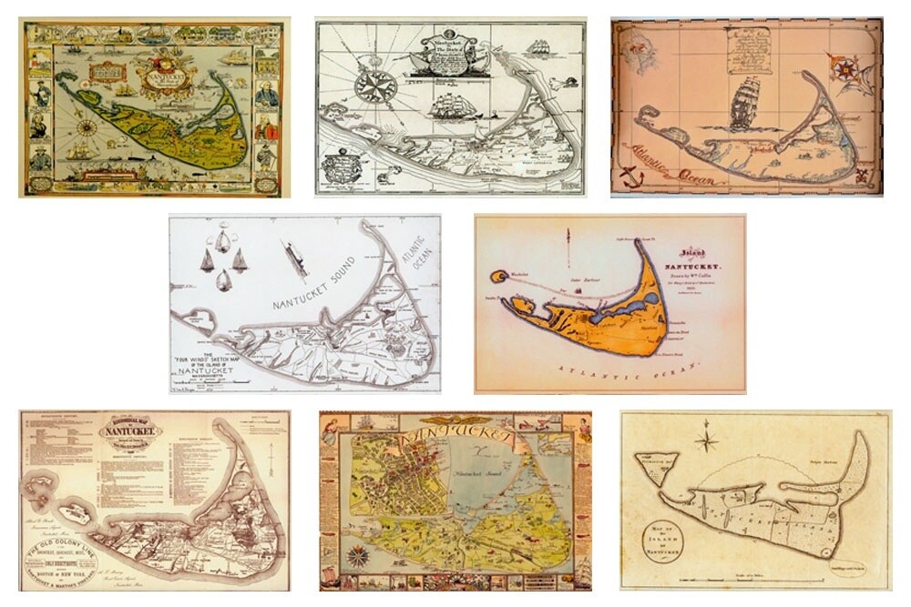
Our exclusive set of eight different historic Nantucket maps from 1782 to 1926.
Each 4" x 6" postcard has the name and date of the map on the back.
The images include;
- Map of the Island of Nantucket attributed to Dr. James Tupper, 1782
- Nantucket by Ruth Haviland Sutton, 1946
- Historical Map of Nantucket by Rev. F.C. Ewer 1886
- Island of Nantucket by William Coffin, 1835
- The "Four Winds" sketch map of the island of Nantucket, Massachusetts by Vice Adm. W. Mack Angas CEC USN
- Nantucket Island settled by Thomas Macy by Alexander Dumas, 1935
- Nantucket in the state of Massachusetts by Austin Strong, 1921
- Nantucket in the state of Massachusetts by Tony Sarg, 1926
Historic Nantucket Map Postcard Set
Display prices in:USD
